Our Local Heritage
A fascinating collection of stories and articles covering the diverse local heritage of Marple and District.
The articles are presented in Blog format (in title order) or as an article listing (also in title order).
There have been a number of times when county boundaries have been adjusted.
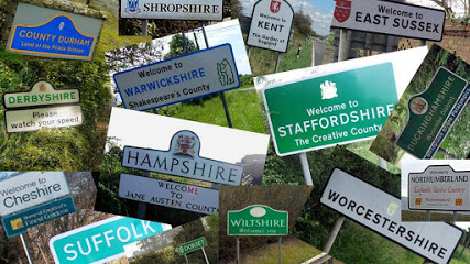
The biggest change locally, came about in 1936 when Furness Vale, most of Whaley Bridge and part of Newtown were transferred from Cheshire to Derbyshire. At the same time Mellor and Ludworth became part of Cheshire, becoming Marple Urban District Council’s responsibility. The original county boundary following the River Goyt had caused numerous administrative anomalies and duplications of offices.
- Category: Our Local Heritage
- Hits: 2028
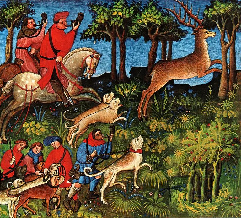
Mellor and Ludworth were part of the Royal Forest of the Peak but Marple and Wybersley were also in a royal forest, the Forest of Macclesfield. An early development, it was established prior to 1160 and, at its height, it covered about 80 square miles from Chadkirk in the north to just north of Congleton. It was contiguous with the Royal Forest of the Peak with the River Goyt on its northern and western boundary and to the south the River Dane marked its limit. The western boundary followed a series of roadways.
Beginning at Rodegreen, just to the north of Congleton, it passed through Gawsworth, Prestbury and Norbury Low to the “stream of Bosden.” The exact location of Norbury Low is uncertain but presumably it was part of Norbury.
- Category: Our Local Heritage
- Hits: 1109
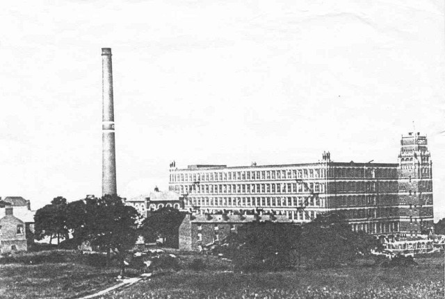 Goyt Mill at Hawk Green was the last cotton mill to be built in the Marple area, and is the only building of that kind left standing locally today. Set on rising ground on the east bank of the Macclesfield Canal just after Hibbert Lane crosses the canal on Eccles Bridge (Bridge 3), it can be seen from near and far.
- Category: Our Local Heritage
- Hits: 6290
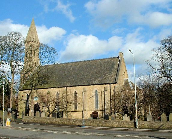
Just beyond Chadkirk the A627 climbs the long steep hill towards Bredbury and passes through Hatherlow, described by James Butterworth in his 1827 book History and Description of the Towns and Parishes of Stockport as ‘a small hamlet within the Parish of Bredbury’. It may be small but its mix of both old and elegant buildings gives it an aesthetic coherence to justify being designated as a conservation area by Stockport MBC.
- Category: Our Local Heritage
- Hits: 3234
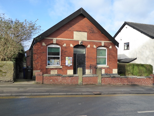 Hawk Green has a ‘Reading Room’. You will have seen it, on the right, as you reach the top of Upper Hibbert Lane, just before the Green comes into view. It is a simple dark red brick building and the plaque above the door tells us that this is Hawk Green Reading Room and Social Club and that it dates from 1906.
- Category: Our Local Heritage
- Hits: 3239
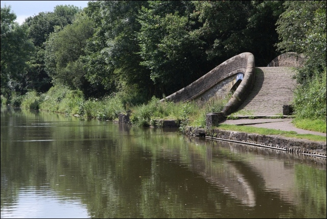
Two bridges on the Macclesfield Canal in High Lane are “listed” by English Heritage. They are both interesting but not particularly noteworthy. Bridge Eleven carries the A6 over the canal so it is wide enough to almost be described as a tunnel. About 150 metres to the south Bridge Twelve curves gently as it carries the towpath over the entrance to High Lane wharf, a much more interesting feature. This is a particularly attractive bridge with a gentle curve taking the towpath over the entrance to the canal arm. The canal itself is important as one of the last narrow canals built.
- Category: Our Local Heritage
- Hits: 5883
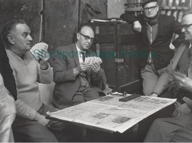 For most of the last millennium the basic units of local government were townships. These were divisions within the ecclesiastical parishes which gradually gained civic and administrative responsibilities as society became more sophisticated. Bredbury and Romiley were two separate townships in the Middle Ages but they were brought together in the nineteenth century in order to establish units of local government. First as a Local Board, then as a sanitary district and finally, after 1894, as an urban district council, it was a unified authority. In 1976 it lost its autonomy when it was brought under the control of Stockport MBC at the same time as Marple UDC.
- Category: Our Local Heritage
- Hits: 3955
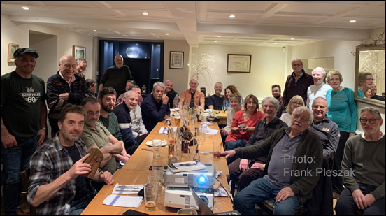 As a child Rod Thackray from Moor End Mellor was enthralled by stories told by his uncle Ivan Eccles about his exploits working at coal mines around Mellor after WW1. By the time Rod was a teenager he was an accomplished artist and had developed a passion for exploring old coalmine workings. He once fell down the shaft at Picky Wood Pit in Marple only to be saved from serious injury when his fall was broken by a dead cow that had previously fallen down.
- Category: Our Local Heritage
- Hits: 1695
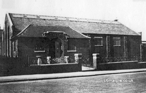 Our local heritage does not have to be old. Nor does it have to be architecturally distinguished. What it does have to do is to play or have played a significant part in the life and culture of the area at some time. One such building is Marple Baths. Right in the centre of Marple, it has been there longer than almost everybody living and it has played a significant part in the community for almost ninety years.
So why is it part of our local heritage? Architecturally it has been described as “a simple industrial building, built to a budget but modified and extended over the years."
- Category: Our Local Heritage
- Hits: 7952
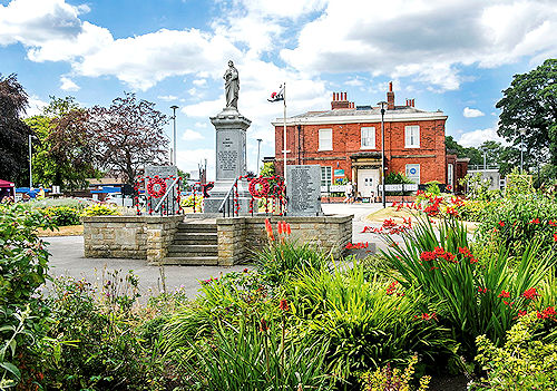
It was 1919. The War to End All Wars was over and demobilisation was beginning. Millions of men were returning, but not all men. Almost 900,000 British soldiers had been killed in Belgium, France and the other battlefields and virtually every community in the country had lost men and some women. There were a few communities where all their sons returned, but Marple was not one of them. One hundred and forty one soldiers and sailors would not be coming home.
- Category: Our Local Heritage
- Hits: 1305
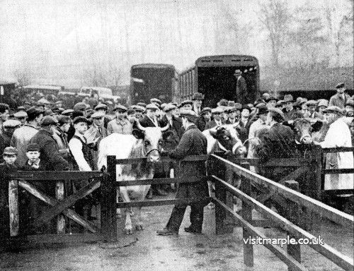 In the last three hundred years Marple has changed from a rural community to an industrial neighbourhood and now to a post-industrial commuter area. However, although gradual, these changes have not been mutually exclusive - there were early signs of industry well before Samuel Oldknow chose Mellor as the site of his new mill and even today, the Romiley Young Farmers Show demonstrates that the agricultural tradition lives on. Even so, it is difficult to believe that Marple had a regular weekly cattle market as recently as 1968.
- Category: Our Local Heritage
- Hits: 2932
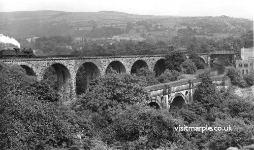 It is easy to forget that we have two bridges over the Goyt into Low Marple. It is the aqueduct that gets all the attention. This is the Grade 1 listed monument, the popular walking path to Romiley, the one that gets all the publicity and the heritage grants. However, alongside it and in some ways overshadowing it, is the railway viaduct. It might only be a Grade 2 listed monument but it is higher and longer and more massive than our favoured aqueduct.
- Category: Our Local Heritage
- Hits: 6995
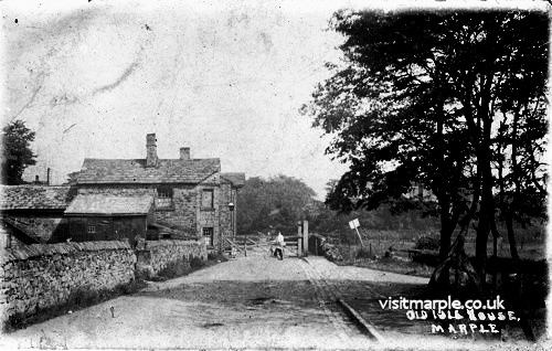 In the early days of the industrial revolution the roads around Marple and Mellor were atrocious - deeply rutted farm tracks that were difficult to use in summer and almost impossible in winter. No wonder the area was a rural backwater. However, in a period of little over ten years at the turn of the nineteenth century it suddenly had the use of three turnpikes and a canal.
- Category: Our Local Heritage
- Hits: 866

