The recently completed ‘Revealing Oldknow’s Legacy Project’ had three parts: restoration of the Peak Forest Canal Aqueduct, investigation of the industrial archaeology and landscaping of the lime kiln complex off Strines Road, and furtherance of the industrial archaeological excavations of the Mellor Mill site, which had started in 2011 prior to granting of Heritage Lottery money in 2014.
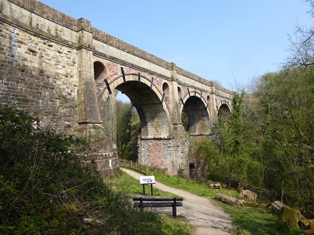
Marple Aqueduct
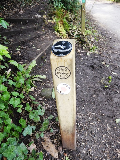
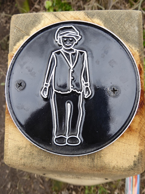
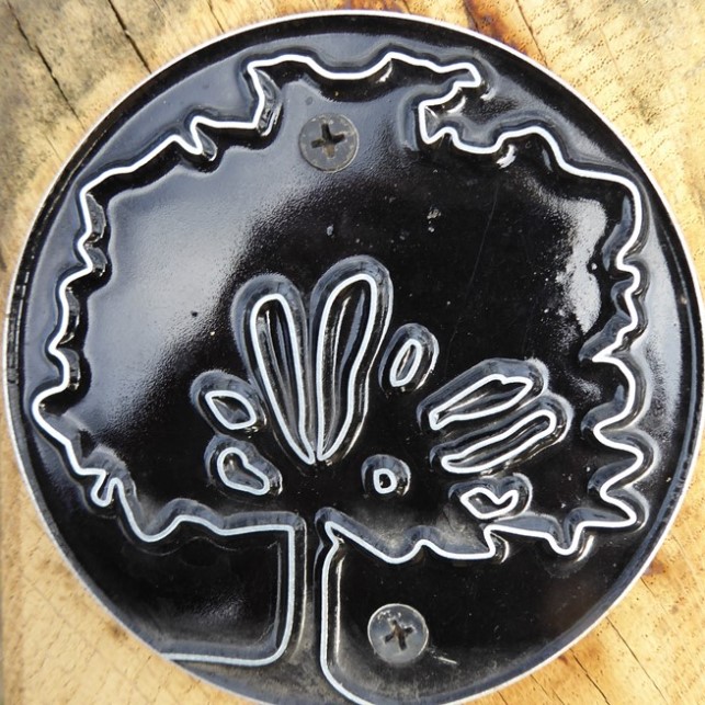
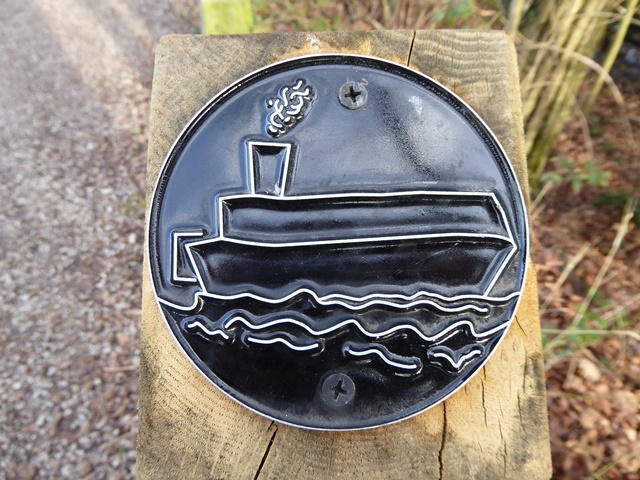
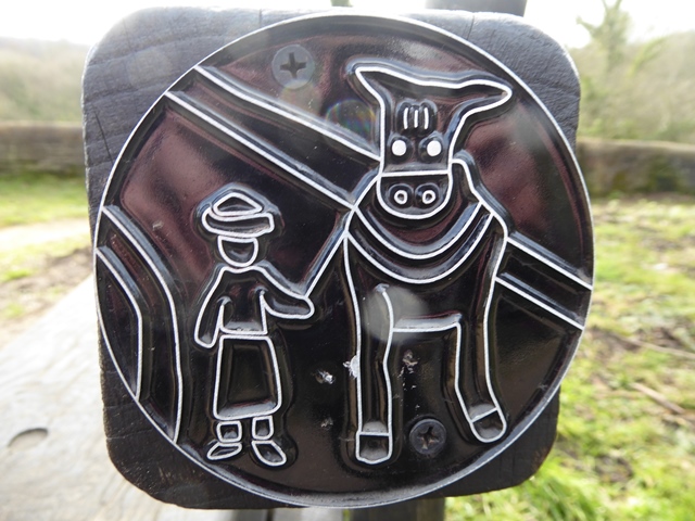
A prime part of any Lottery project is involvement and education of the public. During this one much work was done with young people, and the sites were used in various imaginative ways. School children took part in archaeological digging, used information in ‘local studies’, made a film and wrote stories. They drew images giving their impressions of aspects of the various sites and connecting routes. Some of these were used to create embossed metal ‘rubbing tiles’ which have been placed at appropriate points. The idea is to place a piece of paper over the tile, and shade with a pencil or crayon when an impression of the image emerges, like a brass rubbing.
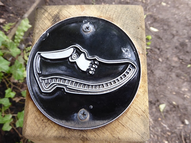 Clog tile on a post
But there was a problem. No one seemed to have thought it useful to tell everyone anything about the tiles, where they are or what to do with them. So, one morning Husband Eddie and I set off to ‘hunt the tiles’ armed with paper and crayons. We started at the aqueduct, taking the opportunity to go down the new footpath to admire the structure from below, and we enjoyed the lovely railings on the off-side of the aqueduct, designed to emulate the warp threads of a weaving loom. Then we followed the towpath up the lock flight to the lime kilns. We went back on to the towpath as far as Brick Bridge, down to Strines Road, and along the footpath which takes you across the railway and down to Lakes Road. Then to Mellor Mill, finishing for refreshments at the Roman Lakes café.
On a seat at the Romiley end of Aqueduct
Along the way we had great fun finding and rubbing 18 tiles and deciding what they represent. There’s no certainty that we’ve found them all, so it’s for you to continue the voyage of discovery. Our walk took about 3 hours, but of course, you don’t have to do the whole route in one go, or in the order we did. It gave a new dimension to exploring our local heritage and certainly makes you look around carefully. Photos of some of the tiles with their locations illustrate this article, and a leaflet has been produced with a map showing the location of all the tiles, on sale at the Roman Lakes Café, proceeds to Mellor Archaeological Trust, to help with maintenance costs of the mill site. So, if you do come across any of the rubbing tiles, you now know how and why they came to be.
Judith Wilshaw, December 2019